

Existing conditions documentation
Existing Conditions Documentation focused on the unique needs of Owners, Architects and Builders.

What we do
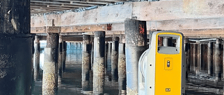
LiDAR scanning, 360° photography, drone scanning, 2D drafting and 3D modeling.
Experience
10+
Years of LiDAR-based commercial, residential, and civic existing conditions documentation.
Clients include
Gensler, Aecom, National Parks, Award-winning local architects, interior architects, and contractors
LIDAR SCANNING · 360° PHOTOGRAPHY · DRONE SCANNING · 2D DRAFTING · 3D MODELING ·
About
For 10 years the founders of Ground Truth 3D have provided LiDAR based commercial, residential, and civic existing conditions documentation. Our clients range from Gensler and Aecom and National Parks to award-winning local architects, interior architects and contractors.
Who we serve
Property owners
Property Documentation: Maximizing Value Across the Ownership Lifecycle

Architects
Accurate plans and models fast
Interior Architects / Designers
2D Plans, 3D models and thorough Photo Documentation
Civic Planners
Planning for transition, growth and safety with ECD
Property Operators
Efficient, profitable, property operation and management with ECD
Event Planners
ECD: The Blueprint for Flawless Events
Builders
Cost Reduction and Risk Mitigation in Construction
Landscape Architects
An accurate foundation for success in modern landscape architecture
How you gather, manage, and use information will determine whether you win or lose.
Ready to document your project with precision?
Property owners
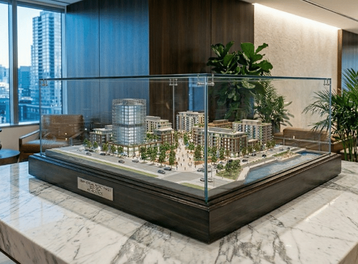
Accurate building documentation was historically outsourced to architects, contractors, and leasing agents, but commercial and residential property owners are increasingly recognizing the strategic necessity of owning and controlling their building’s digital record.
By engaging specialists like Ground Truth 3D directly, owners can generate accurate, easy-to-share 2D and 3D existing conditions documentation that provides immense value across the entire ownership lifecycle, from initial purchase through renovation, operation, and eventual sale.
Architects
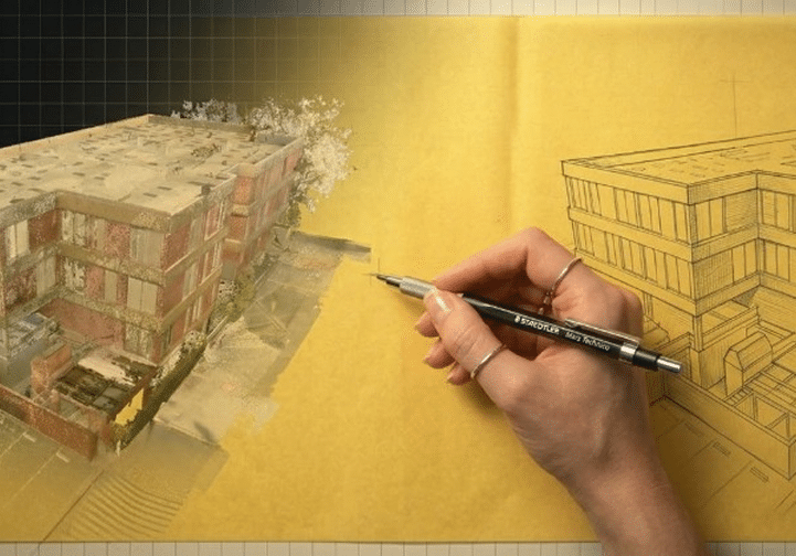
The success of any architectural project is fundamentally dependent on accurate existing conditions documentation. Historically, relying on outdated plans, county records, or error-prone hand measurements introduces substantial risk, often leading to costly design revisions, construction clashes, and project delays.
For architectural practices, inaccurate base drawings pose a direct threat to both profitability and reputation.
Interior Architects / Designers
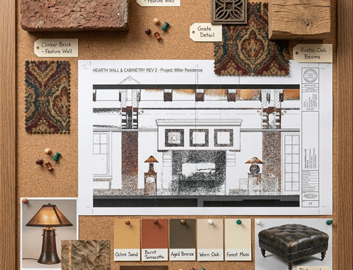
The success of any high-quality interior renovation or redesign begins with an accurate view of the existing conditions. This foundational data is crucial for interior architects, as traditional site measurement methods—relying on outdated plans or tedious hand measurements—introduce substantial risk.
These error-prone approaches threaten a firm’s profitability and professional reputation by causing costly design revisions and construction clashes that can severely damage client relationships.
Civic Planners
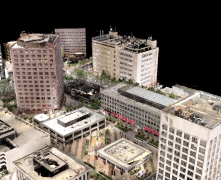
Effective 21st-century governance and sustainable development rely on a foundation of accurate, comprehensive data. Existing Conditions Documentation (ECD) provides the accurate visual baseline to enhance the efficiency, equity, and resilience of Civic Planning.
ECD is defined as the comprehensive collection of spatial and non-spatial data—including traditional surveys, Geospatial Information System (GIS) data, detailed 3D models, and historical records—that precisely maps the current physical, environmental, and social landscape of a jurisdiction. Civic Planning encompasses public activities aimed at guiding community development, such as urban development, infrastructure design, and resource allocation.
Start a project
Discuss scope, deliverables, and timeline with our team.
Builders
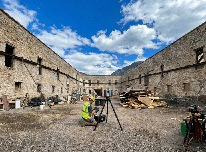
Construction succeeds when bids, schedules, and field work align with the building as it actually exists—not with incomplete record drawings or assumptions carried forward from the last tenant improvement. Existing Conditions Documentation (ECD) gives builders and trade partners a verified geometric and visual baseline: 3D laser scan data, accurate plans and elevations, and where needed,
Building Information Models (BIM) that reflect structure, openings, and major MEP routing as encountered in the field.
Event Planners
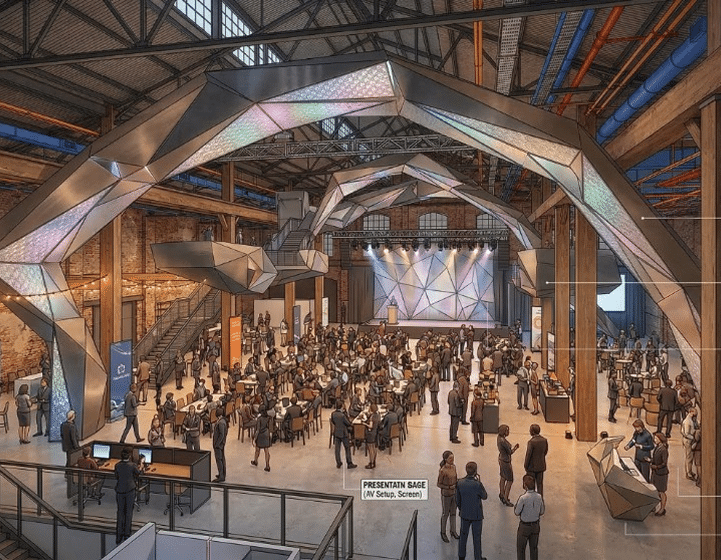
Large-scale events depend on precise knowledge of the venue: floor loading paths, ceiling heights and rigging capacity, door and dock dimensions, and the real location of mechanical, electrical, and plumbing (MEP) systems. Relying on incomplete drawings or memory invites surprises at load-in—when there is no time left to recover.
Existing Conditions Documentation (ECD) captures the building as it exists today and turns it into a dimensionally accurate digital record: laser scan data, verified plans, Building Information Models (BIM) where appropriate, and navigable photographic documentation.
Property Operators
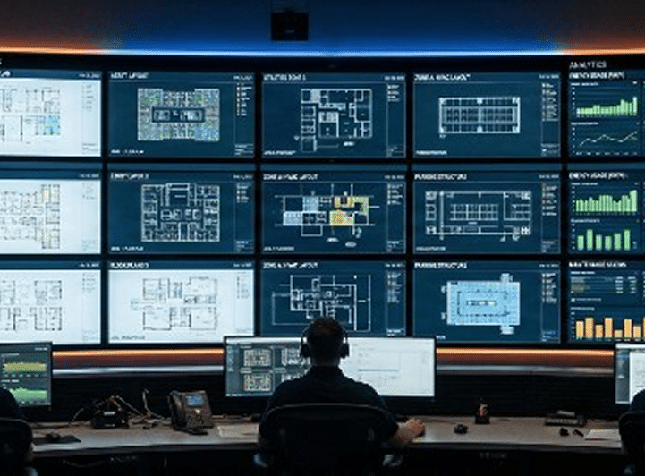
Accurate building documentation has transitioned from a professional prerequisite to an essential, strategic asset for commercial property operators. By engaging specialists like Ground Truth 3D directly, operators secure and control their building’s digital record—generating accurate, easy-to-share 2D and 3D existing conditions documentation.
This control provides immense value throughout the asset lifecycle, ensuring efficient communication, reducing operational risk, and simplifying long-term maintenance and aggressive marketing efforts.
Landscape Architects
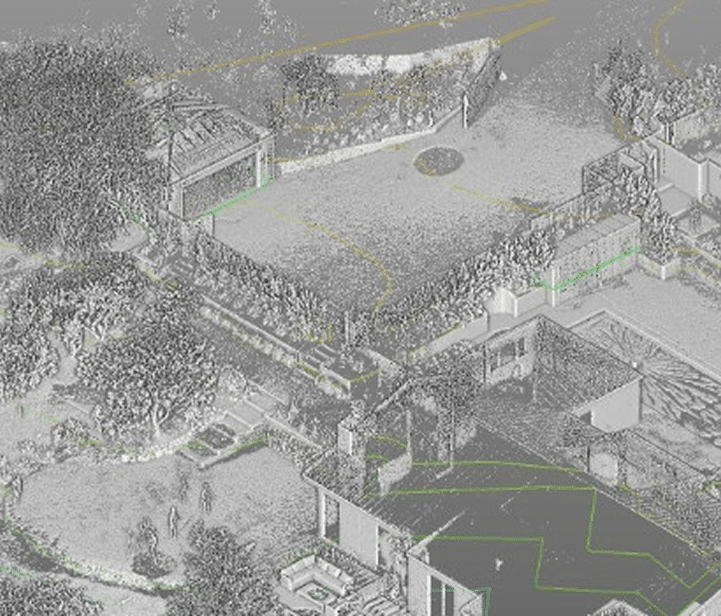
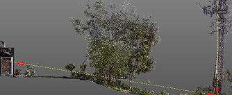
Detailed, accurate existing conditions documentation provides an indispensable foundation for landscape architects, providing the necessary tools to deliver great results and generate strong professional references. This documentation serves as a clear, easily communicated record of a site’s current state, meticulously capturing topography, buildings, plantings, and all landscape features and elements.
In an era of advanced design technology, high-quality documentation is critical because it forms the basis of a strong 2D or 3D model. These models, in turn, feed modern AI schematic design and visualization tools, which streamlines the conceptual process, powerfully communicates design intent, and stimulates client enthusiasm and buy-in.
Start NOW
Start with a conversation about your documentation needs.
Project types
Scoped to your project
Single family residence
Site Mapping ECD
3D Visualization
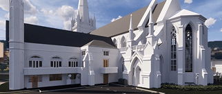
Historic Documentation ECD
Campus Mapping ECD
Landscape Mapping ECD
Commercial Building ECD
Construction Progress Monitoring
Disaster Planning ECD
Facade Scanning ECD
Project Context ECD
Property types documented
Every building type covered
Office buildings and commercial properties
Single family residences
Hotels and hospitality facilities
Recreational facilities
Multi-unit residential
Manufacturing facilities
Campuses and parks
Restaurants
Retail

Contact us
Let’s talk about your project.
Lorem ipsum dolor sit amet, consectetur adipiscing elit, sed do eiusmod tempor incididunt ut labore et dolore magna aliqua. Ut enim ad minim veniam, quis nostrud exercitation ullamco laboris nisi ut aliquip
phone
+1 (123) 456-7890
Based in
123 Street Name, City, CA 12345